Site Contents
Home
The City
London Boroughs
Sitemap
|
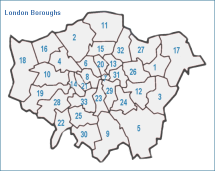
Old Maps of London Boroughs
View maps of the London boroughs as they were in the
mid twentieth century. The map below shows the boundaries of the inner
and outer boroughs of London, numbered on the map and named in the key
below. To view a detailed map of a London borough, click on a number on
the map or on the name in the list below. This will take you to a page
showing the main features of the borough, as shown on the Bartholomew
half inch maps of the mid twentieth century. |
 |